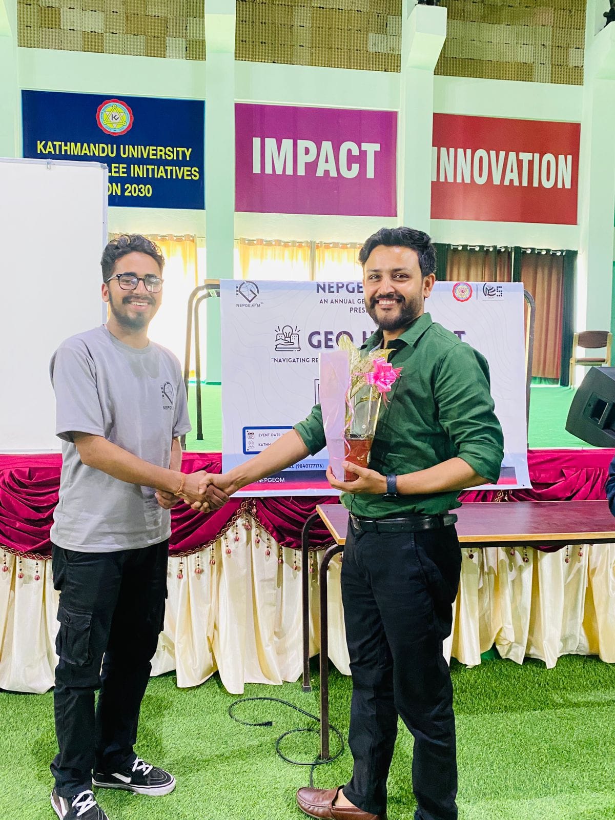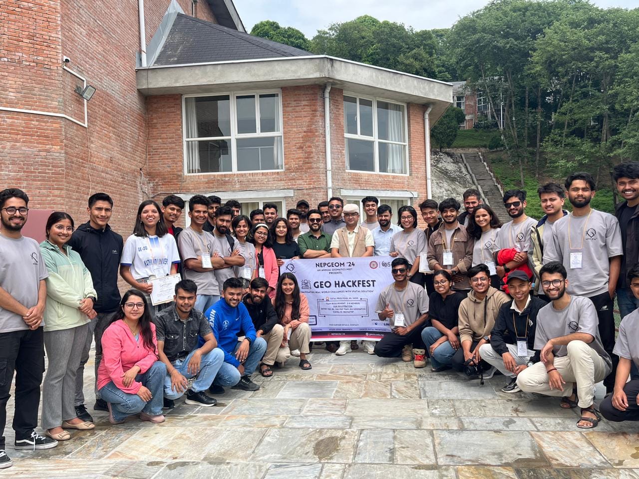
Geo-Hackfest
GeoHackFest is an exciting event designed for geospatial enthusiasts, programmers, engineers, and researchers who are passionate about solving real-world problems using geospatial technologies. It serves as a platform where participants collaborate, innovate, and build creative solutions using Geographic Information Systems (GIS), remote sensing, spatial databases, and other location-based technologies.
Objectives of GeoHackFest
The Geo Hackathon fosters innovation, enhances skills, promotes problem-solving, enables networking, and encourages interdisciplinary collaboration in the geospatial domain.
What Happens at GeoHackFest?
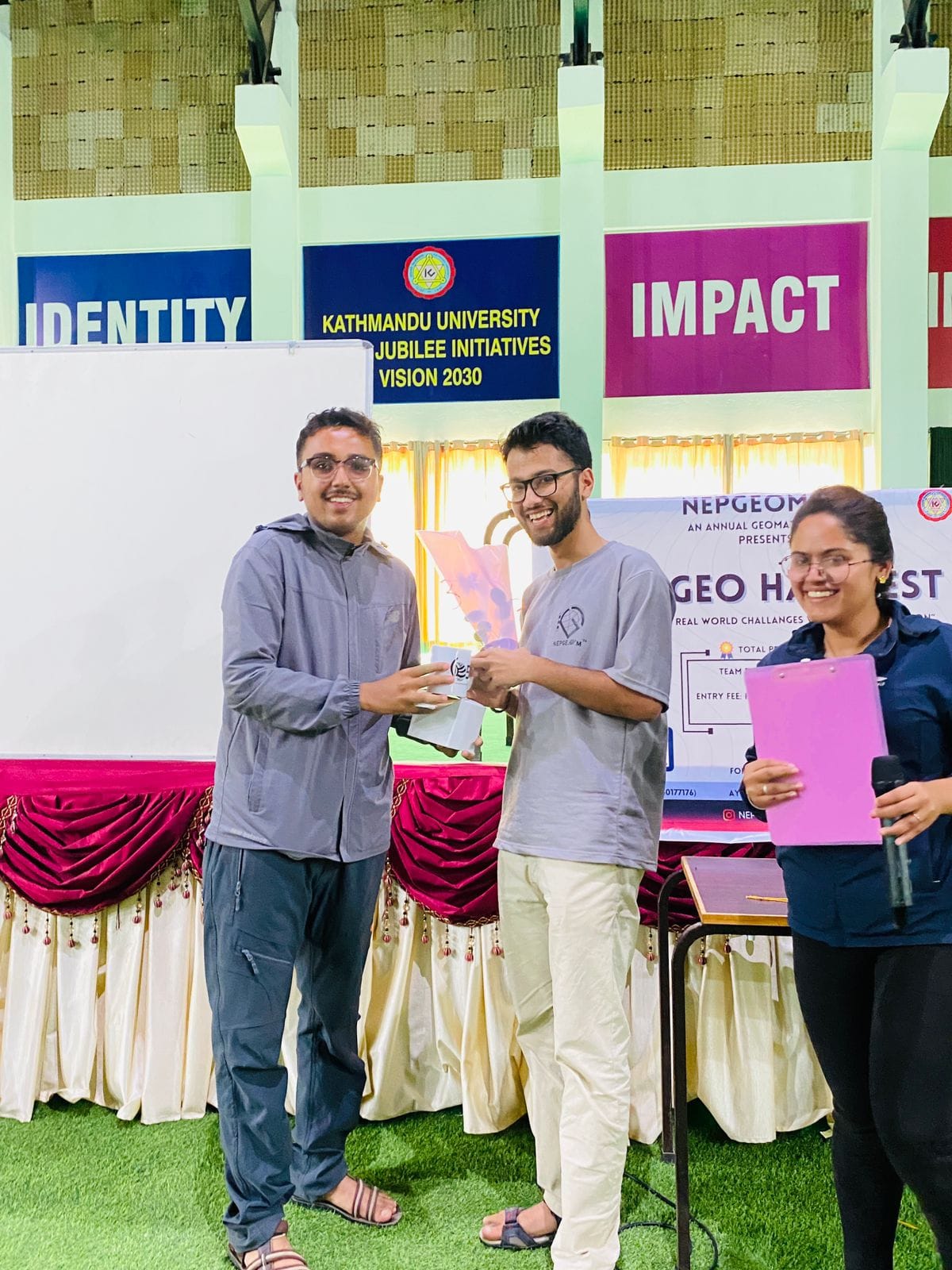
The Geo Hackathon featured challenges on real-world geospatial issues, expert-led workshops, insightful guest lectures, innovative project showcases, and competitions recognizing outstanding solutions.
Who Can Participate?
GeoHackFest is open to students, researchers, professionals, and anyone interested in GIS, remote sensing, and spatial data analysis. No matter your background—whether you’re a coder, a geospatial analyst, or a data scientist you can contribute to the event.