OSM Mapathon
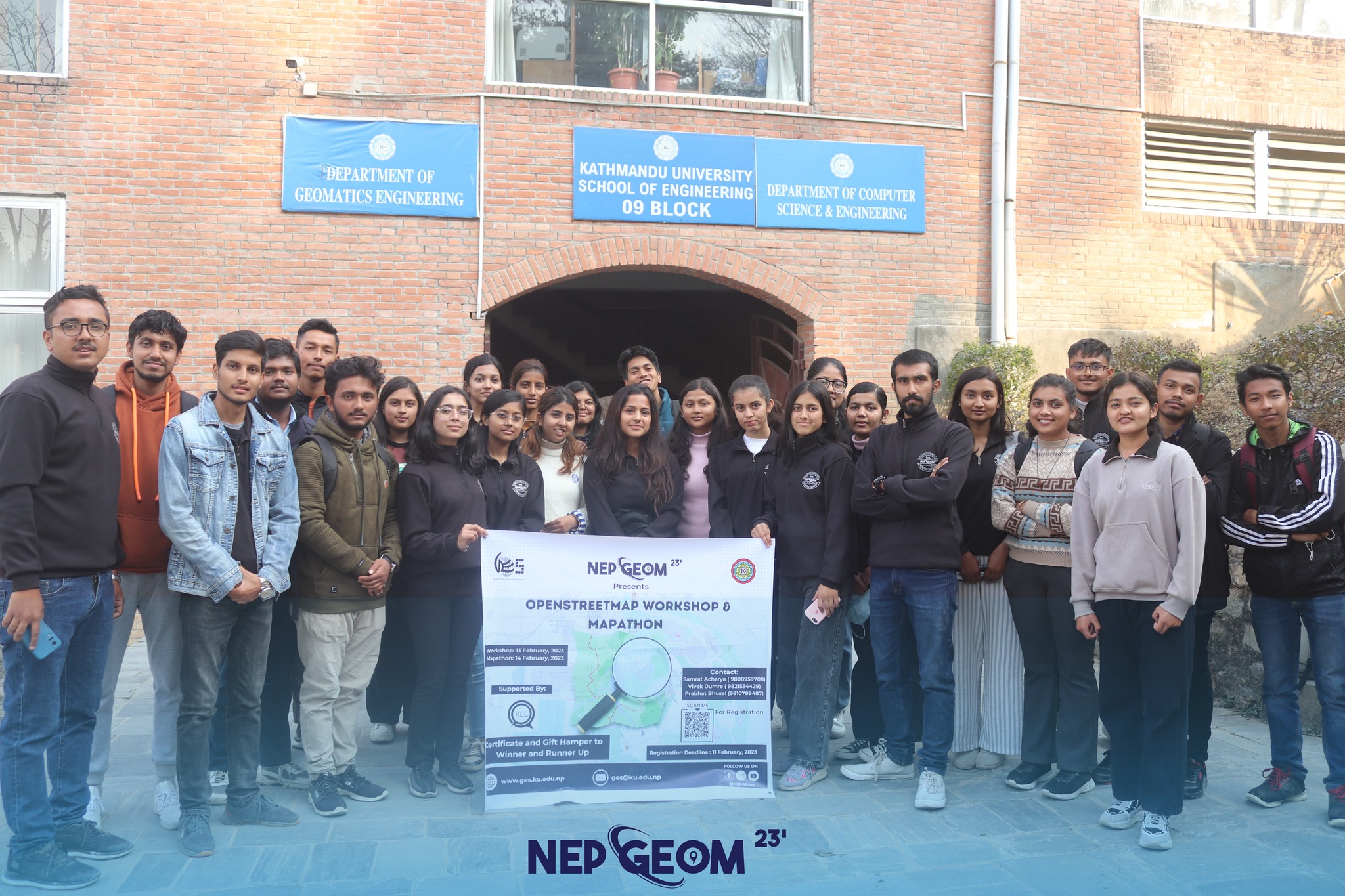
OSM Mapathon is an engaging event designed for mapping enthusiasts, geospatial professionals, students, and volunteers who are passionate about contributing to OpenStreetMap (OSM). This collaborative mapping event aims to improve geographic data by adding and updating information on OSM, enhancing the accuracy and completeness of maps for various applications.
Objectives of OSM Mapathon
The event promotes open mapping, enhances geospatial data quality, encourages community participation, fosters technical skills in digital mapping, and supports humanitarian and development projects by improving spatial information.
What Happens at OSM Mapathon?
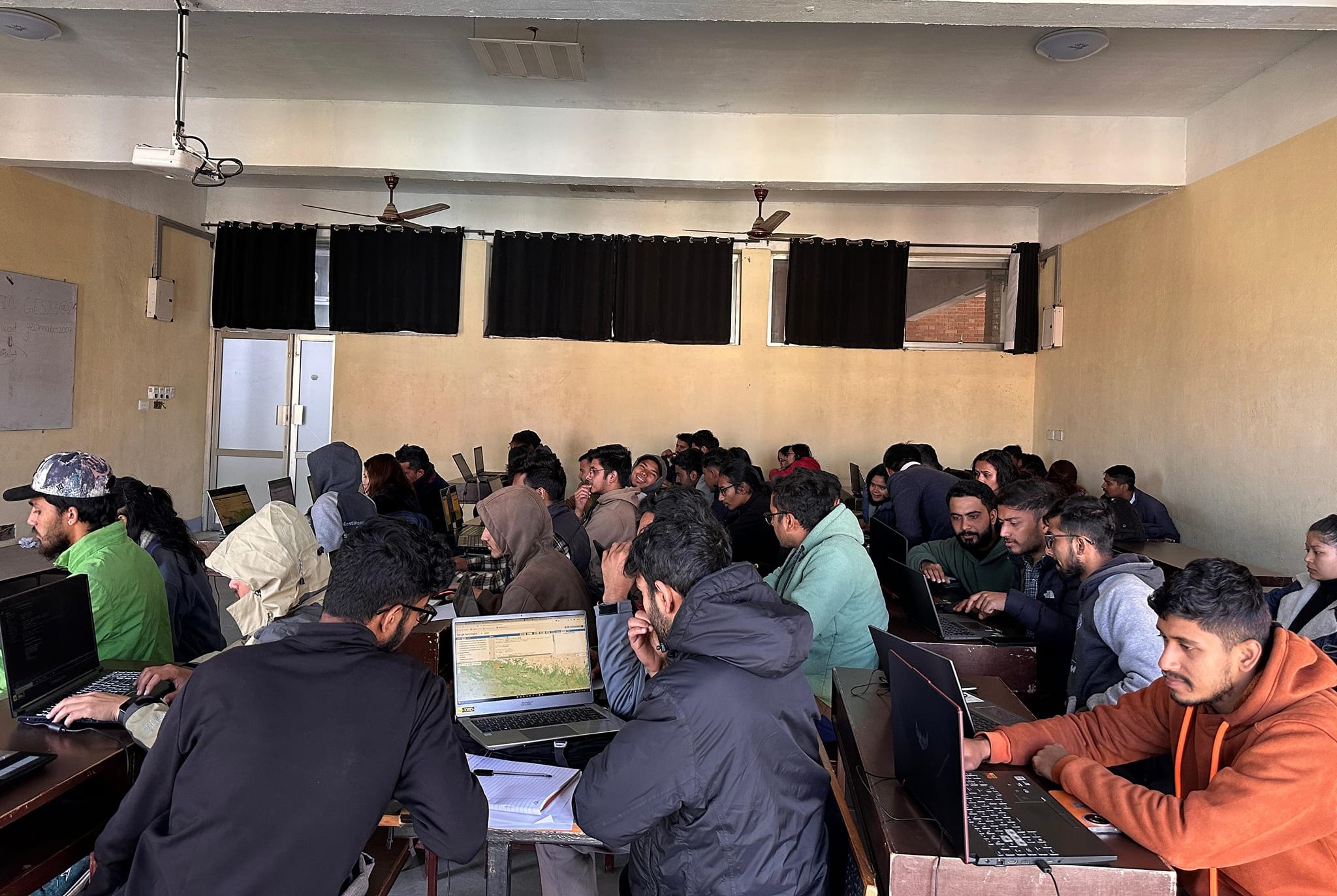
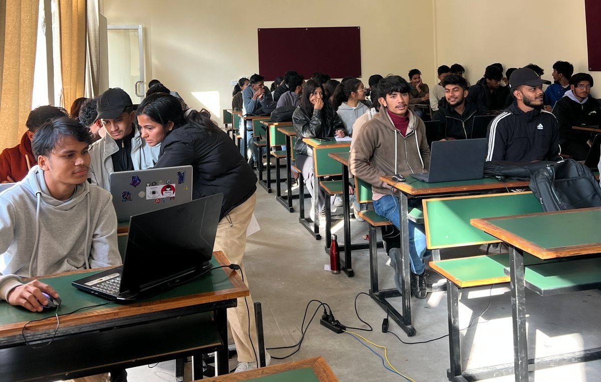
The event includes hands-on mapping sessions where participants use satellite imagery, GPS data, and field surveys to update OSM. Expert-led workshops, training sessions on OSM editing tools, and collaborative mapping challenges help participants develop their mapping skills. Recognition is given to outstanding contributions that enhance geographic data accuracy.
Who Can Participate?
OSM Mapathon is open to students, researchers, professionals, and anyone interested in mapping and open-source geospatial data. Whether you’re an experienced cartographer or a beginner, you can contribute to building a more detailed and accurate map for global and local use.