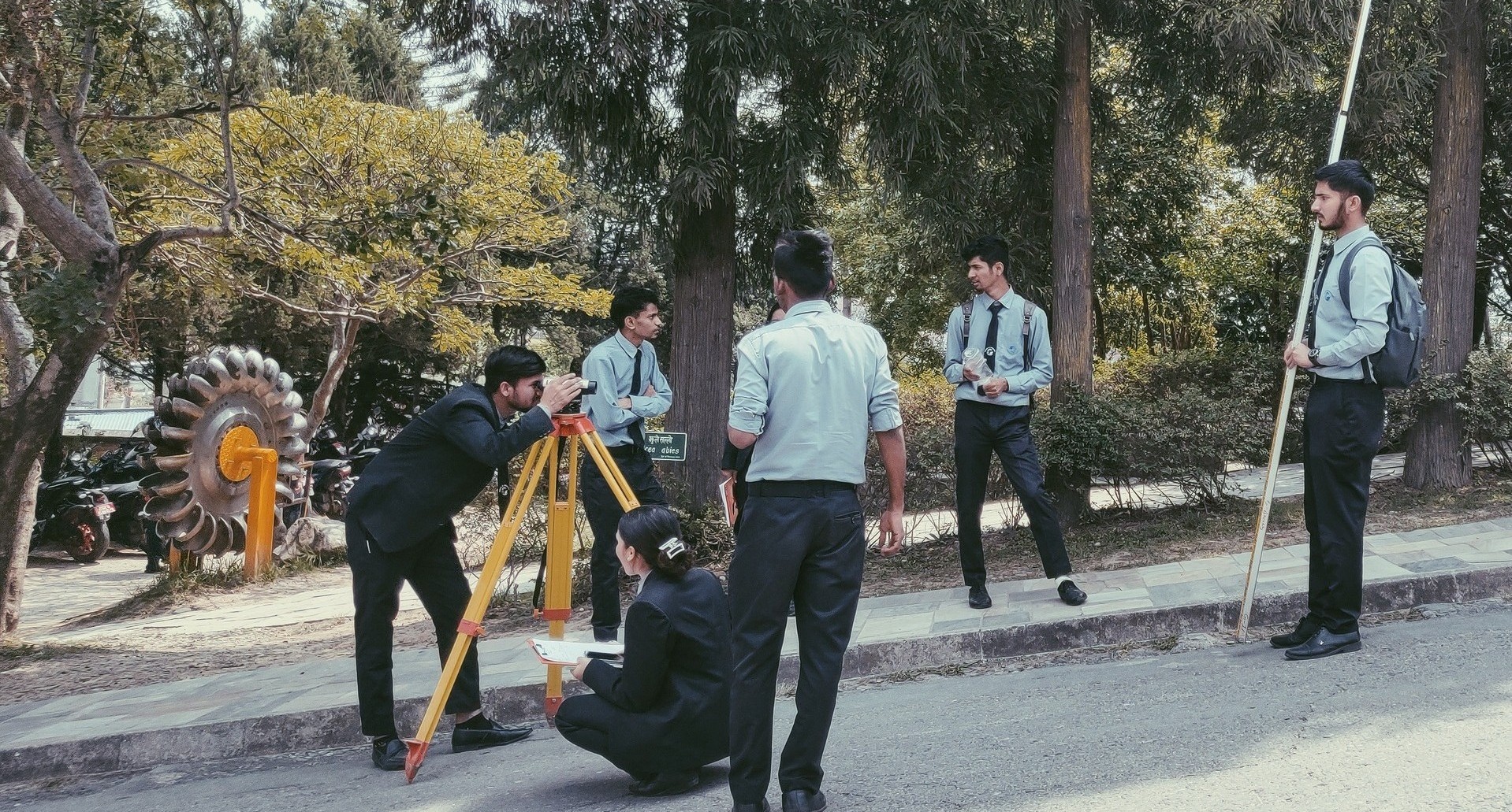
Survey Competition
The competition challenges participants to demonstrate their proficiency in land surveying, data collection, and analysis using advanced tools and techniques. It emphasizes accuracy, efficiency, and creativity in solving real-world geospatial problems. Participants will work in teams to complete tasks such as topographic mapping, boundary surveying, or GNSS data processing, depending on the theme of the competition.
Objectives of the Survey Competition
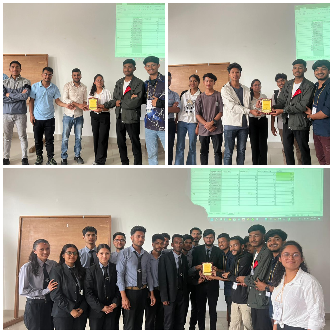
The Survey Competition not only fosters healthy competition but also encourages knowledge sharing, teamwork, and the application of cutting-edge geomatics technologies.
What Happens at the Survey Competition?
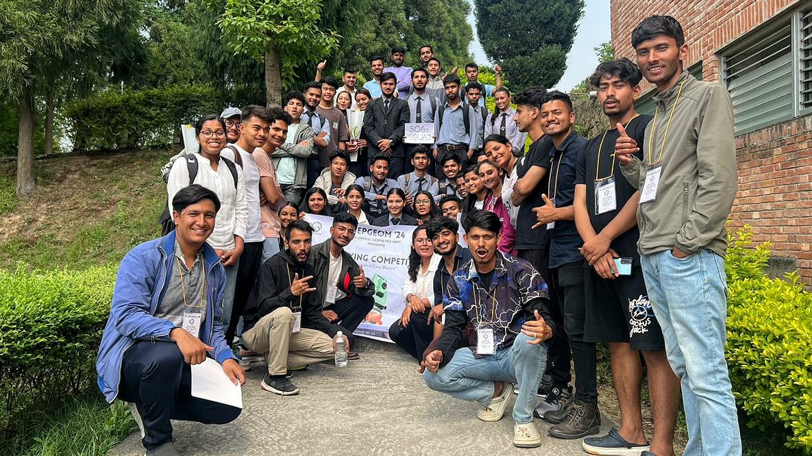
Who Can Participate?
The Survey Competition is open to students, and anyone interested in data collection, statistics, and survey methodologies.